Underground Services Location & Mapping
Hydrometrix Technologies has become a trusted specialist in underground services location and mapping.
Our non-intrusive underground utility detection methods offer fast, accurate and cost-effective results.
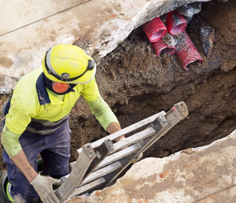
Our ability to accurately locate and map the location and depth of underground services offers a range of benefits to our clients.
These include:
- workforce and site safety;
- accurate utility layouts for design purposes;
- accurate as-built drawings;
- fewer essential services strikes and interruptions during excavation;
- reduction/elimination of additional costs associated with redesigns,
services damage during construction and interruptions to work on site; and - detailed underground asset data for asset registers.
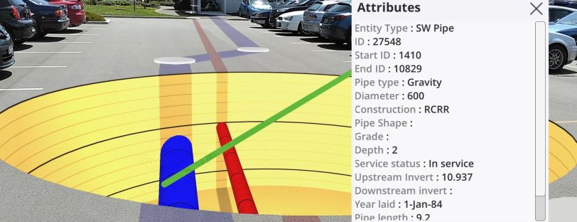
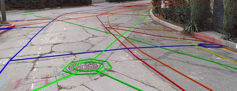
Our state-of-the-art underground services location methods include Ground Penetrating Radar (GPR),
sonic surveys and electromagnetic location. We detect and map metallic and non-metallic pipelines and cables.
`Utility locations are surveyed, mapped and presented as 2D or 3D AutoCAD drawings and GIS shapefiles.
Application of Underground
Services Location & Mapping
- Construction sites
- Pipeline servitudes
- Road construction and crossings
- Underground asset management
- Major public transport projects
- Oil refinery, petrochemical, industrial sites
- Mining
- Forensic surveys
Underground Utility Location
are used for detection of
- Water pipelines
- Wastewater lines
- Stormwater lines
- Product lines
- Electrical cables
- Telecoms cables
- Fibre optic cables
Hydrometrix Technologies
Experience & Track Record
- 500 km bulk water servitude route
- 1000 km water network
- 1500 road crossings
- 200 km road upgrades
- 300 fuel retailer forecourts
Our services extend beyond South African borders.
We have successfully completed assignments in Botswana, Lesotho, Eswatini, Zimbabwe, Ghana,
Malaysia, Hong Kong and Mongolia.